Beyond the crowd of thousands who flock to the region's volcanic plains each year, a team of local researchers are quietly uncovering a past hidden beneath the surface.
Subscribe now for unlimited access.
or signup to continue reading
From volcanic bombs to fire fountains and hidden underwater volcanoes, the south-west holds a fascinating history of volcanism which new tourism initiatives are set to capitalise on.
It began some 40 million years ago when a fountain of liquid rock 100-200 metres high sprouted from Mount Pierrepoint near Hamilton, freezing mid-air as volcanic bombs before being deposited in the area.
The eruption is believed to be one of the earliest to have occurred in the region, which is home to an estimated 100-150 volcanic sites.
Some experts even believe there are cyclic indications a new eruption is due.
Ancient hotspot
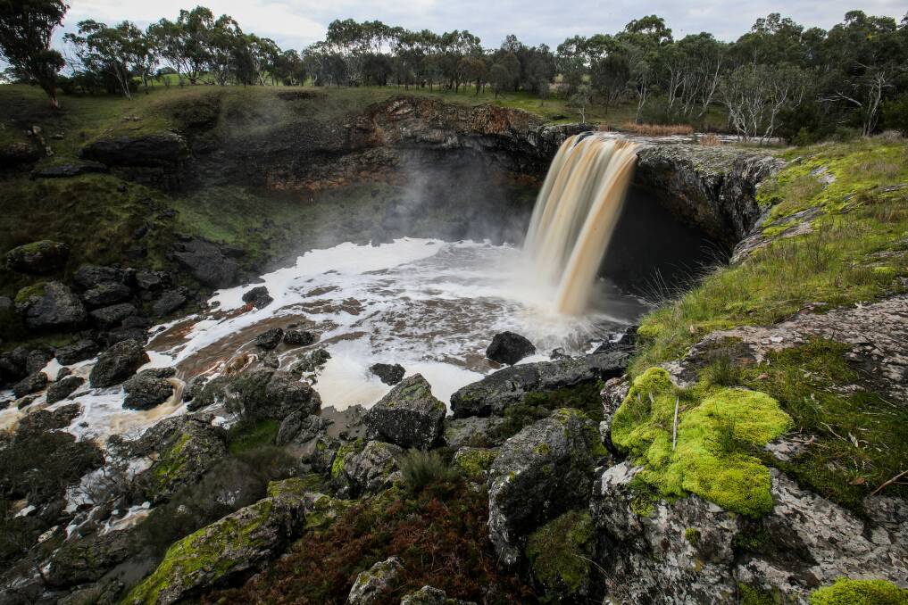
With volcanic activity occurring as recently as 5000 years ago, the region's natural history continues to fascinate residents and tourists alike. A volcanic trail is being proposed for sites including Wannon Falls, Nigretta Falls, Byaduk Caves, Harman's Valley Lookout, Wallacedale Tumuli, Mount Napier and Mount Rouse.
Southern Grampians Shire Council adopted the Greater Hamilton Volcanic Trail Masterplan in early March and mayor Bruach Colliton said he hoped the project would help preserve the "unique landscape".
"The masterplan is a shining example of promoting both the natural environment to enhance tourism to the region while also importantly preserving the sites and the Indigenous heritage with an approach that is sustainable, respectful and inclusive," he said.
"It provides council with the opportunity to improve the natural assets in partnership with stakeholders such as land managers DEWLP and Parks Victoria in upgrades of existing walking trails, the development of new campsites and picnic grounds and signage to tell the story of this unique landscape."
Explosive beginnings
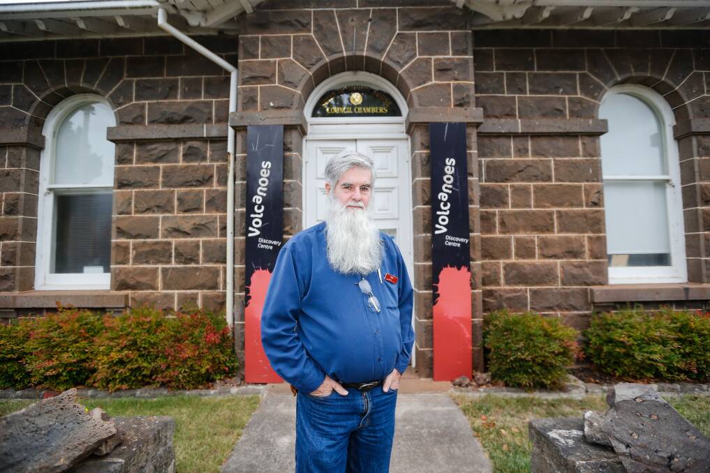
Penshurst Volcanic Centre has also been earmarked for major upgrades and owner Paul Callander said he was keen to show off the region's most unique sites.
"You've got Mt Rouse which is a complex volcano," he said.
"It's a mixture of lava flows and scoria and it's also the one which released the most lava in the whole of the Volcanic Province. The lava flow flowed all the way down the valleys to Port Fairy and possibly even out into the ocean - that's over 60 kilometres long and that occurred about 330,000 years ago.
"Then you've got other ones like Budj Bim which was actually a big crack in the earth and the eruption took place along that crack which was about three or four kilometres long.
"Initially it happened all the way along it, but eventually concentrated on the area known as Lake Surprise. That happened about 20-30,000 years ago."
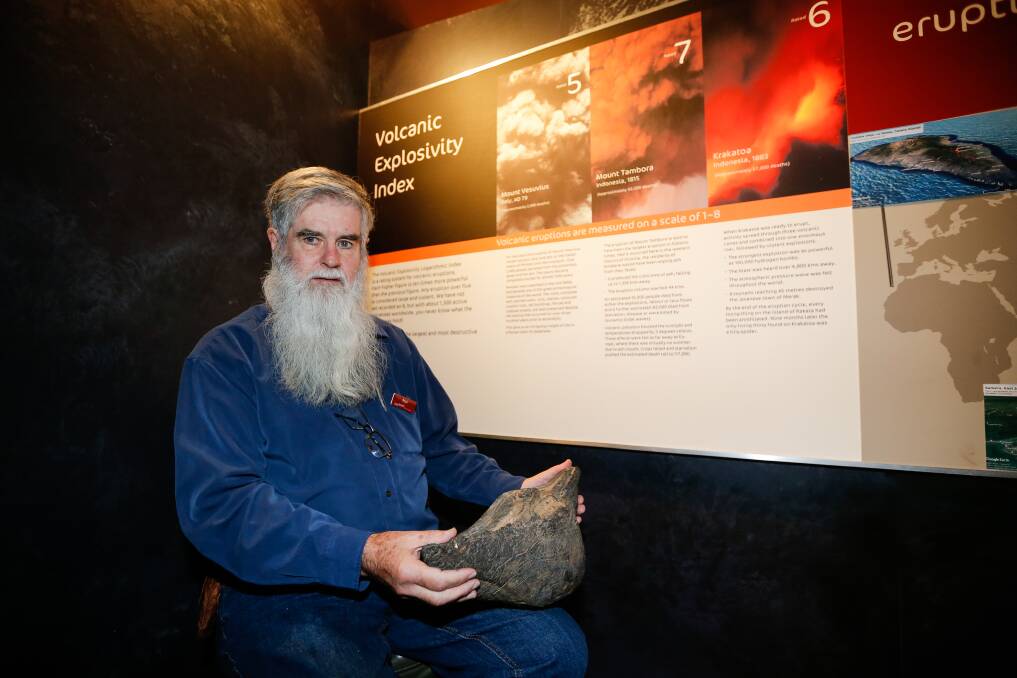
Federation University's Stephen Carey recently held a presentation on Mount Noorat, another type of volcano.
"It developed in three major stages, the first was like what you have at Lake Purrumbete and the first stage of Tower Hill. It's a large crater and the formation of a ring of fragmented material around that crater called a maar.
"The second stage actually formed Mt Noorat and a number of other scoria mounds. That was also an explosive eruption but not nearly as much as the maar and the third stage was a very quiet one with the eruption of lava flows."
Mr Carey said the reason for the western district's pronounced volcanism stemmed from its location.
"Australia is moving north at a rate of around six or seven centimetres a year," he said.
"You've got the continental crust which varies in thickness. As we move north the variation of thickness of the crust and upper mantle results in convection in the wake of the thicker bits.
"Behind them in the thinner bits you've got convection of the upper mantle and that results in rock that's able to flow and partially melt. That feeds up towards the surface.
"The second factor is as Australia moves north the Australian Plate grinds against the Pacific Plate, setting up stresses that are conveyed through the Australian plate to underneath the Australian continent.
"Those stresses cause buckling of the plate and in places where you've got that buckling you have a release of pressure which promotes melting."
Vanishing islands
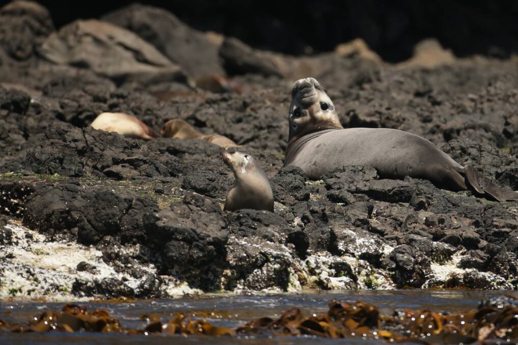
Such volcanic activity has made major contributions to the geological significance of the south-west, which is still being mapped.
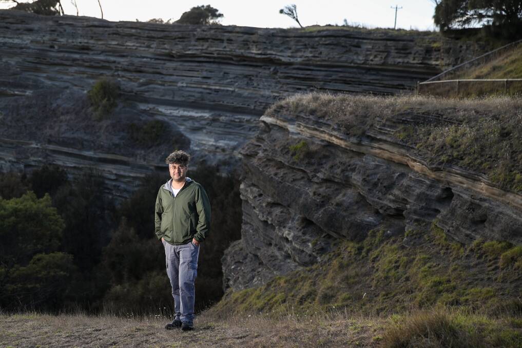
Yakup Niyazi from Deakin University's Warrnambool School of Life and Environmental Sciences is leading a ground-breaking study of the region's submarine volcanoes.
In 2019 he discovered about 40 buried across the south-west continental shelf from Cape Otway to Portland, including around five off the coast of Warrnambool.
"I've found volcanoes buried beneath the seafloor," he said.
"The numbers increase towards the Portland area and some of them are 300 metres high while some are up to six kilometres wide. This is done by interpreting seismic data sets and through this we can reconstruct the original shape and its geometry.
"Offshore ones are not subject to intensive erosion so these buried volcanoes are almost the same shape and have the same internal architecture as they did millions of years ago.
"Some of those volcanoes were very high, emerging above sea level before experiencing erosion and slowly submerging. That means at that time we had many, many islands in south-west Victoria. Now we only have Lady Julia Percy Island near Port Fairy."
Predicting eruptions

Mr Niyazi said his findings could indicate where future volcanoes may emerge.
"In this region, the source of these volcanoes is directly from the vertical transportation of magma - that means the volcano erupts directly above the source," he said. "If we can define a volcanic source, then the magma could be directly transported vertically to the surface rather than being transported laterally."
Mount Elephant committee member Chris Lang said a likely location could be nearby.
"There's probably a hotspot in the lower crust that we've now drifted past," Mr Lang said.
"The hotspot is out to sea south of Cape Bridgewater - if there's going to be another volcano, it's going to be somewhere out there."
Tackling unknowns
Mr Niyazi said his work could give crucial information to those proposing to construct offshore windfarms.
"The work Deakin university's Marine Mapping Group is doing is of very high resolution but the area being mapped is still limited," he said.
"We've mapped around Portland and Port Fairy, but we have around a 70 kilometre span of continental shelf which needs more effort.
"Especially in Portland and Port Fairy, there are some volcanic rocks near the seabed and there can be some geohazards to construction. These shallow buried magmatic rocks could destabilise the seabed because they have different rock characteristics than the surrounding rock. Maybe they are more porous, not stable and they may collapse and this is the information we need for future marine spatial planning."
IN OTHER NEWS
Our journalists work hard to provide local, up-to-date news to the community. This is how you can access our trusted content:
- Bookmark https://www.standard.net.au/
- Make sure you are signed up for our breaking and regular headlines and newsletters
- Follow us on Facebook, Twitter, Instagram and LinkedIn
- Tap here to open our Google News page.
- Join our Courts and Crime Facebook group and our dedicated Sport Facebook group
- Subscribe


